
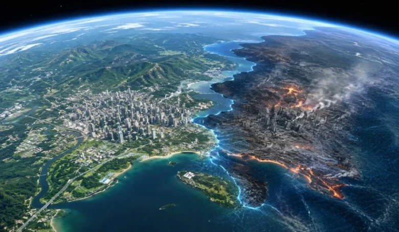
Google withdrew a feature that allowed users to alter real satellite and 3D imagery with text prompts only one day after its launch. Tests involving fabricated refugee camps, nuclear facilities and attack scenes raised concerns about the use of trusted mapping data to create misleading content.
Google Earth briefly allowed users to transform almost any location with a written instruction. The tool had been presented as a way to visualise architectural projects, historical landscapes and possible changes to urban environments.
Instead, it quickly drew attention for generating convincing scenes of events that had never occurred.
Google launched the image-generation feature on July 30 and removed it the following day. In an update to its original announcement, the company said screenshots of AI-generated images that appeared to violate its policies had begun circulating online. The feature was withdrawn while additional safeguards were developed.
Fabricated events placed on real maps
The tool was available through the web version of Google Earth. Users could select a location, enter a description and generate a new scene based on the area’s existing satellite, aerial or three-dimensional imagery.
This made it different from a conventional AI image generator. The system did not create an entirely fictional landscape. Instead, it inserted invented structures and events into recognisable streets, buildings and terrain.
Researcher Henk van Ess reported using simple prompts to create a fabricated refugee camp near the Mexican border, a nonexistent nuclear facility in Iran and a traffic accident that had not occurred in Amsterdam.
Another test placed what appeared to be a bomb crater beside a hospital in Gaza, demonstrating how the technology could be repurposed to create misleading images of conflict zones.
Because the generated scenes retained the perspective, lighting and geographical details of Google Earth imagery, they could appear credible when viewed without context.
Why manipulated map imagery poses a particular risk
The main concern was not simply that the system could produce a false image. The fabricated scene was connected to an identifiable location and presented through a platform widely regarded as a reliable representation of the physical world.
Satellite imagery is regularly examined by journalists, researchers and open-source intelligence specialists investigating military activity, natural disasters, infrastructure projects and damage in conflict zones.
A manipulated image attached to a genuine coordinate could therefore be misrepresented as evidence of an attack, border movement, industrial accident or undisclosed facility.
Google said generated scenes were not added to the public Google Earth map and remained within the workspace of the person who created them. The company also said the images carried its SynthID digital watermark, designed to identify AI-generated content.
Those measures could not prevent users from taking screenshots, cropping the images or sharing them elsewhere without their original context. Screen recording and image compression could also make automated detection more difficult.
Google has not announced when the feature will return or what restrictions will accompany it. Its rapid withdrawal highlights the difficulty of applying conventional content safeguards when generative AI is combined with real-world geographic data.